%3Aformat(webp)%2Feec92729-17bf-4b08-b4ee-f9ad6a48498e-antarctica--visitor-site-telefon-bay-1.jpg&w=1920&q=75)
Telefon Bay on Deception Island
Explore volcanic craters and ash cliffs on this active volcano
Information about Telefon Bay
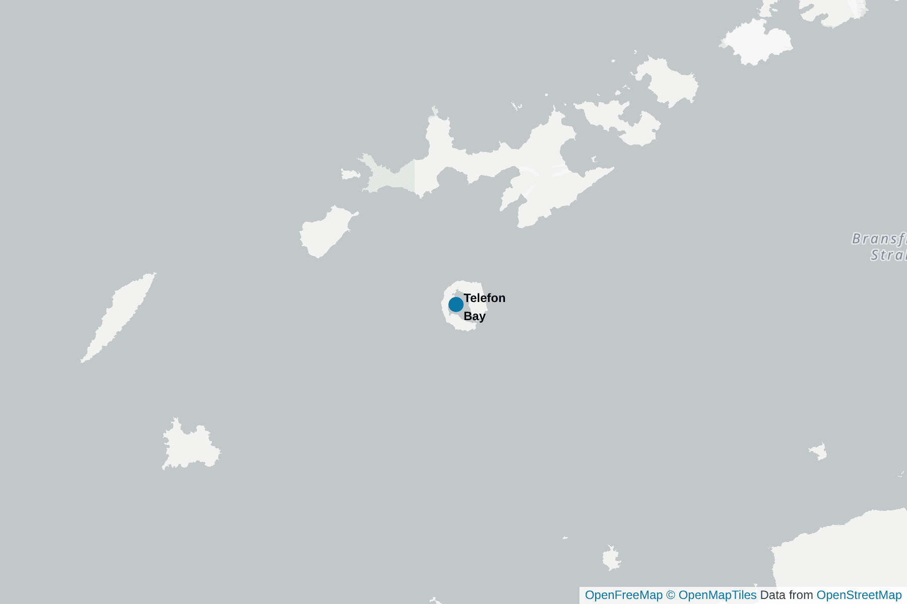
Deception Island is the eroded cone of an active volcano, that last erupted in 1967. It sits in the Bransfield Strait and is part of the South Shetland Islands. Telefon Bay is on the northwest coast of the volcano and is overlooked by Telefon Ridge.
Despite the name, the bay has nothing to do with communications! It was first mapped in 1908 and was named after a Norwegian ship, the SS Telefon, that had been damaged and was put aground here for repairs later that year before being refloated.
The backdrop to the beach is dramatic. In the rising land behind it, you will see a number of volcanic craters, some of which are up to 150ft deep - although gradually being filled in with ice and sediments. To the east and west are cliffs made of ash that were the result of activity in the 1967 eruption that impacted Telefon Bay.
You will be allowed to roam freely here, provided you stick to the main paths and give any penguins a wide berth! You will often see scientific equipment placed around the bay that is used for monitoring any seismic disturbances - it will be clearly marked to help you avoid it.
The shallow beach here is a favorite place for seals to haul out, and you can often encounter both Weddell and fur seals as you come in for a landing.
Interesting facts about Telefon Bay
There is not much wildlife to see this far into the crater on Deception Island, the occasional fur seal or Chinstrap Penguin or skua. But it is fun to sail right into the depths of the flooded crater by ship!
The highlight here is to walk up to about 300m to over look one of the craters that formed during the 1969 and 1970 eruptions, this area of Deception island being were the eruptions occurred.
In addition to the walk around the crater rim you can walk up to the glacier that is difficult to make out - since it is covered in ash from the last eruption. By the way, an eruption is longer overdue by the timing of previous eruptions!
Pictures of Telefon Bay
%3Aformat(webp)%2Feec92729-17bf-4b08-b4ee-f9ad6a48498e-antarctica--visitor-site-telefon-bay-1.jpg&w=1920&q=75)
%3Aformat(webp)%2F06dd7dc8-9007-4727-9580-996b0d98ae8e-antarctica--visitor-site-telefon-bay-2.jpg&w=1920&q=75)
+1
%3Aformat(webp)%2Fdc66f4b3-7197-4a19-92d7-a756c8f6e2b7-telefon-bay-east-deception-island-160-of-214-.jpg&w=1920&q=75)
Where is Telefon Bay
Highlights Close to Telefon Bay
%3Aformat(webp)%2Fheader_media%2F7e36aebc-c0ea-48d3-9717-8844974f9cac-deception-island-antarctica-andreas-kalvig-anderson.jpeg&w=1920&q=75)
%3Aformat(webp)%2Fheader_media%2F4af22f59-0ece-41ac-ad40-bfa9a0cb6574-2019-03-03_chinstrap_penguin_on_barrientos_island-_antarctica.jpeg&w=1920&q=75)
%3Aformat(webp)%2F53d45aa3-1302-43cd-a930-18b62f64d17a-elephant-1.jpeg&w=1920&q=75)
%3Aformat(webp)%2Fheader_media%2F558d07bd-833e-4799-9b9e-f29ac4e528f8-half_moon_island-_antarctica._-24847183211-.jpg&w=1920&q=75)
%3Aformat(webp)%2Fd779267f-e6bd-4ac2-b7ed-d66990d3aa81-antarctica--visitor-site-hannah-point-1jpg.jpg&w=1920&q=75)
%3Aformat(webp)%2Ffc5a4e5f-1b13-4973-882f-a5810f124d5d-5692724860_8a13c57974_b.jpg&w=1920&q=75)
%3Aformat(webp)%2Fheader_media%2F644c4ee4-8afe-42e5-ac70-2086278366c7-36ef6f6ff2deec2e7a763fe121101ceb6aeba512.jpeg&w=1920&q=75)
%3Aformat(webp)%2F3a043897-2734-4efe-bdb4-9288ca8c6b96-penguin-island-blue-animal.jpg&w=1920&q=75)
%3Aformat(webp)%2Fheader_media%2F98bc0242-df52-4211-86c9-5b64d811da89-south_shetland-2016-elephant_island_-point_wild-bust_of_luis_pardo_01.jpeg&w=1920&q=75)
%3Aformat(webp)%2F604556ef-e40c-4e9e-bacf-aaf63da36d5e-2020-03_quest_for_the_antarctic_circle-263.jpg&w=1920&q=75)
%3Aformat(webp)%2Fheader_media%2F67cfbf62-7570-4f2d-a1b0-42d57f83f9ee-13ca02107efe8c21dd3f2bb963128851fbfbcecf.jpeg&w=1920&q=75)
%3Aformat(webp)%2Fheader_media%2F0cbe8ef7-d0c7-45c5-a5d1-98b09f2f1f4f-d8f06b0737b1734dae5e5316f2409d47ee16566d.jpeg&w=1920&q=75)
%3Aformat(webp)%2Fheader_media%2Fd81e0836-48f2-460f-b880-7e92b9e7fe5b-15850187318_21779a2a39_b.jpeg&w=1920&q=75)
Animals in Telefon Bay
Please be aware that wildlife sightings are never guaranteed and depend on seasons, weather, and other factors.
%3Aformat(webp)%2Fheader_media%2Fffed0dce-ffe2-4418-887b-34ecada4447b-weddell-seal-oceanwide-.jpeg&w=1920&q=75)
%3Aformat(webp)%2Fheader_media%2F8fe16a88-61d9-4125-ba77-d7256ca8f553-antarctic-fur-seal.jpg&w=1920&q=75)