polartours header c

Cuverville Island

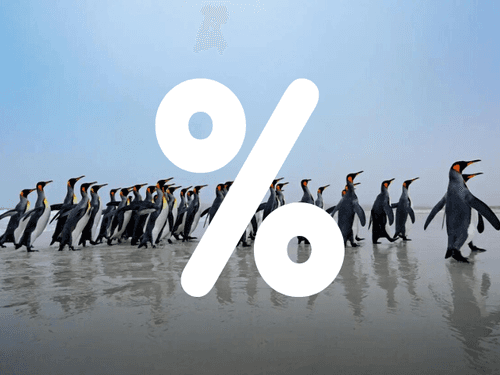
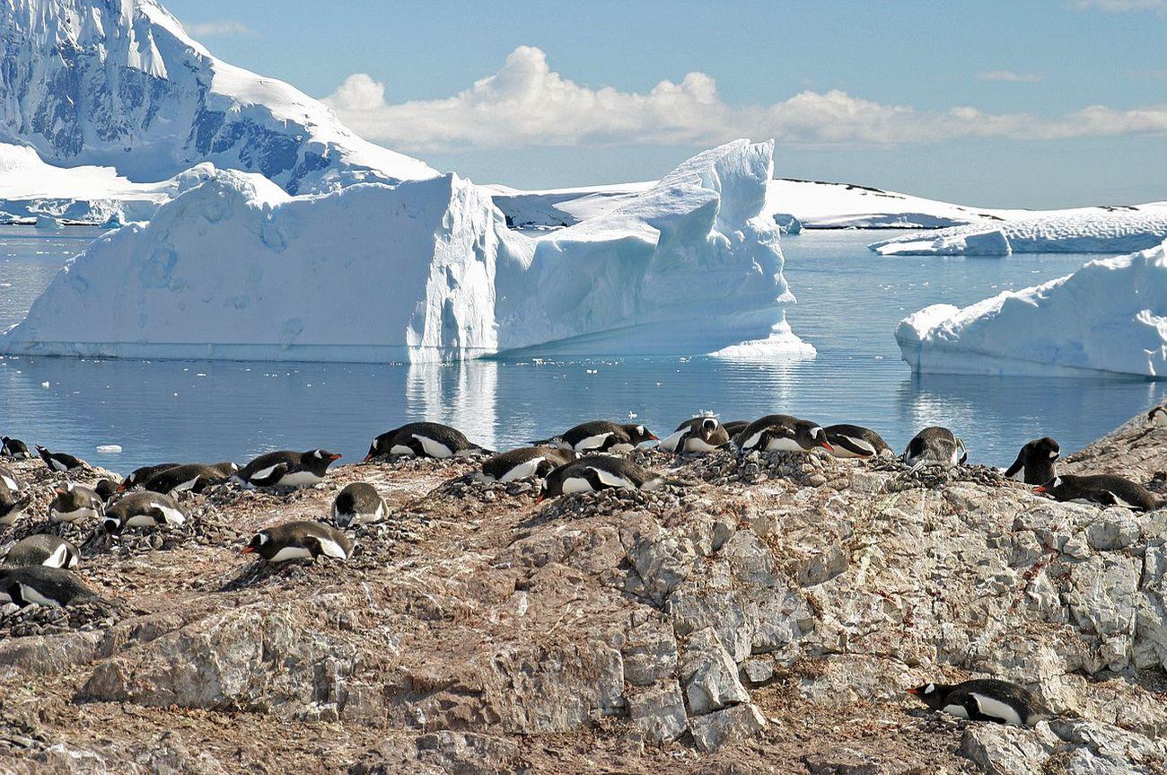
Cuverville Island is famous for its whaling artifacts and remains. Take a close look at the impressive penguin colonies on this Antarctic Island.

Information about Cuverville Island

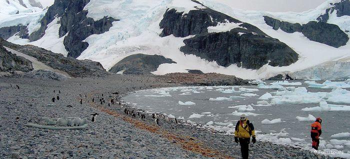
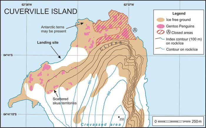
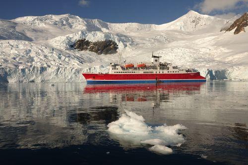
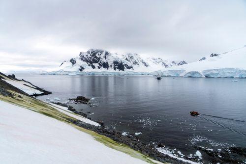
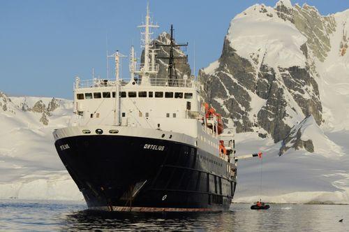
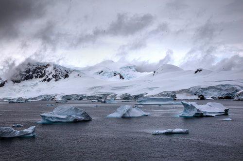
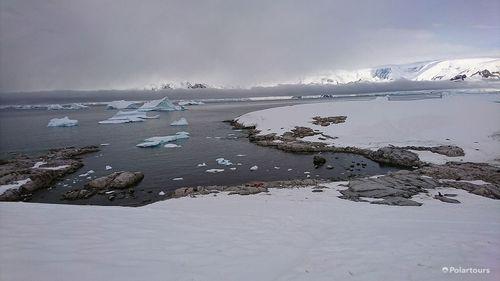
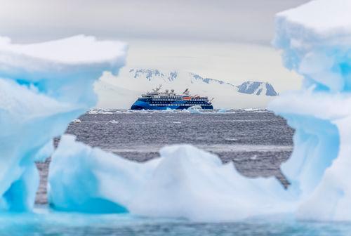
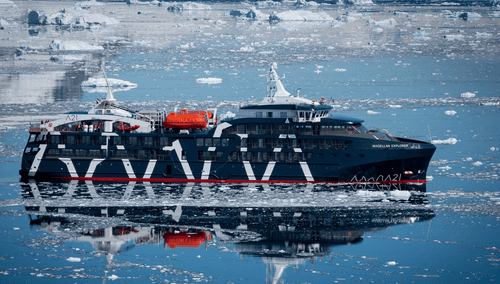
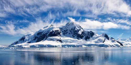
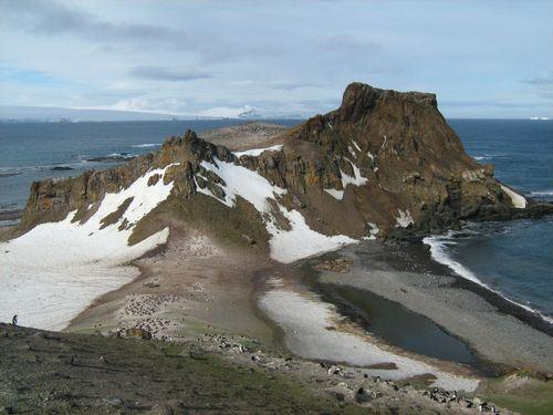
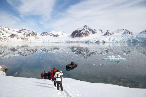
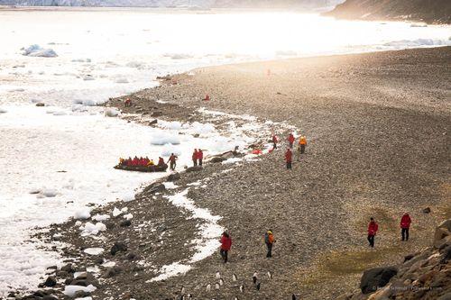
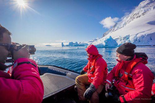
This small, steep-sided island is only 1.5 by 1.25 miles and two-thirds of it sits under a permanent ice-cap. On its northern shore is a pebble and boulder beach backed by steep cliffs where you will arrive by zodiac from your Antarctic cruise vessel and come ashore.

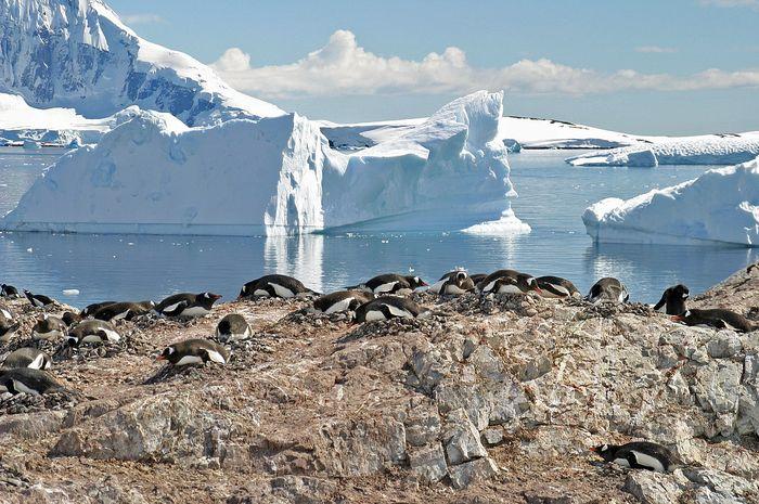
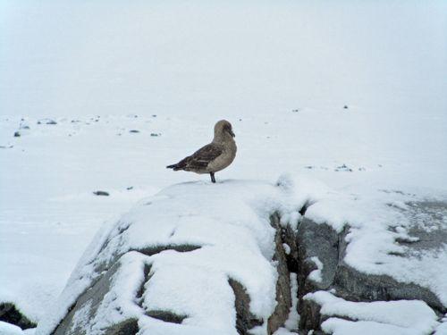
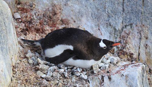
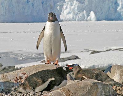
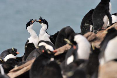
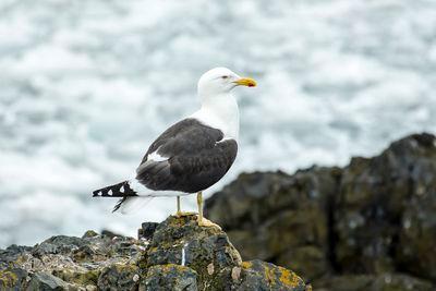
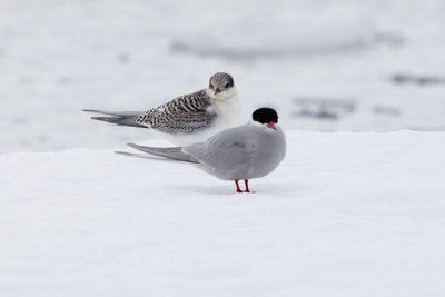
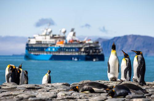
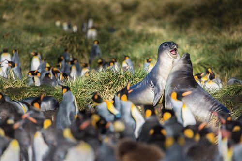
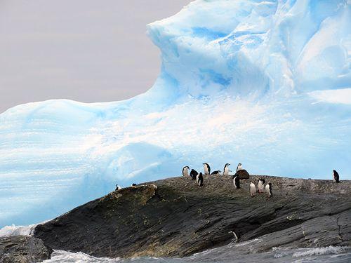
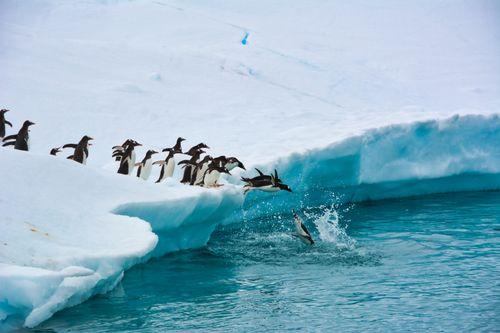
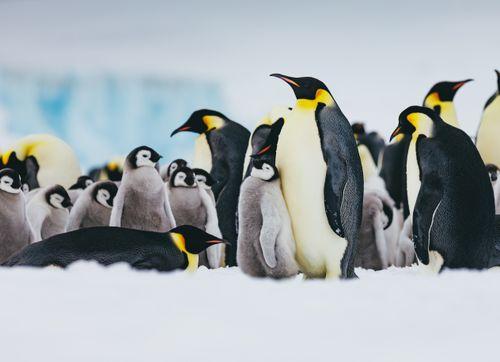
At both ends of this beach are the impressive Gentoo penguin colonies that Cuverville is famed for. You will be able to clearly see the trails they use to make their way to and from the water. There are other colonies and nesting sites on the higher ground behind the beach, and throughout the island.

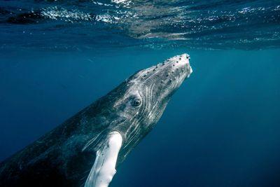
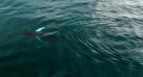
You can also see the evidence of the whaling activity that went on here in the early 1900s, including discarded whale bones and the remains of the equipment used to hall them ashore for processing. If you are lucky, you might see Humpback Whales and Antarctic Minke Whales offshore.

This small island is carefully protected - only one ship at a time may land passengers here and there are other restrictions to ensure the wildlife is not unnecessarily disturbed. Some areas of the island are closed to visitors, but the rest allows you to roam freely, and your expert guides will show you the resident flora and fauna, as well as explaining the island’s whaling history.

Interesting facts about Cuverville Island

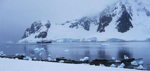
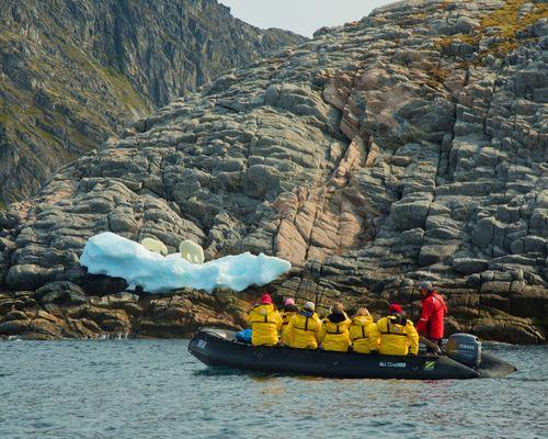
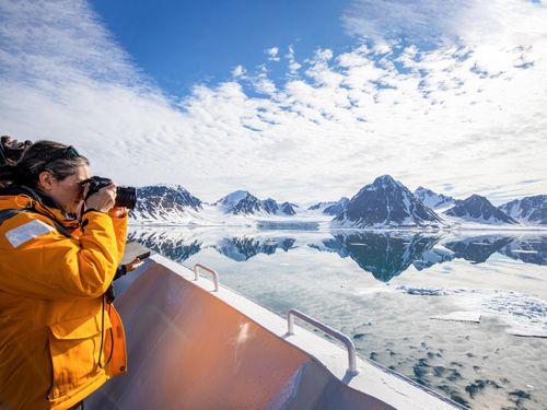
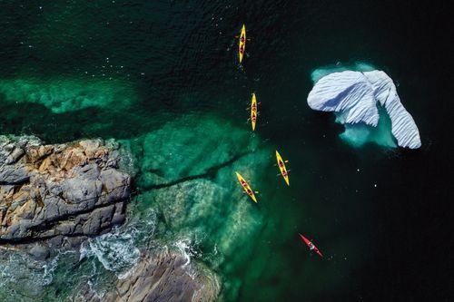
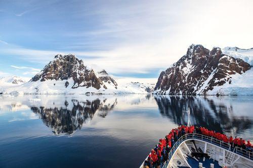
Cuverville is at the entrance to the Errera Channel between the Antarctic Peninsula and Ronge Island and it is a great location for a Zodiac cruise with the stunning scenery, icebergs, and wildlife.

Discover early 20th-century whaling artefacts including scattered whalebones and a whalers’ dam, as well as colonies of Gentoo Penguins.

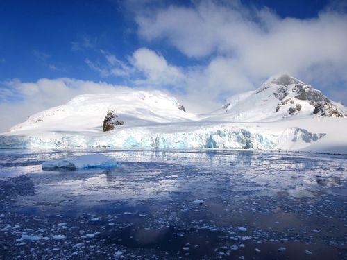
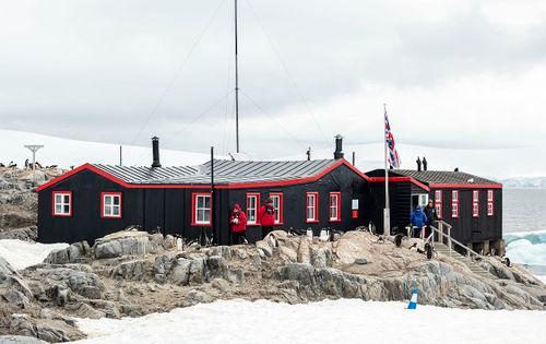
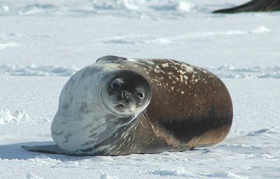
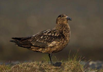
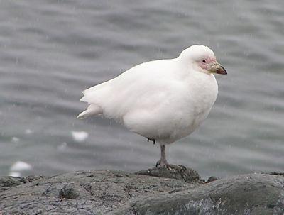
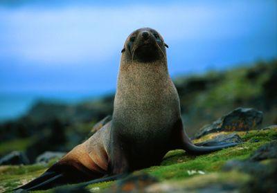
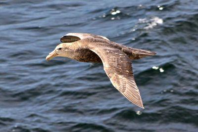
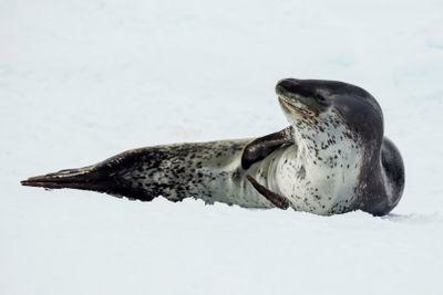
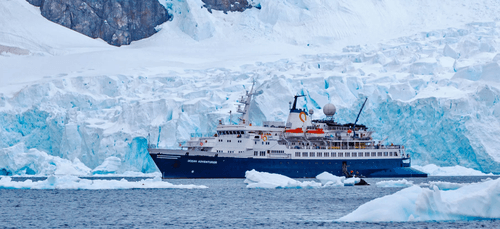
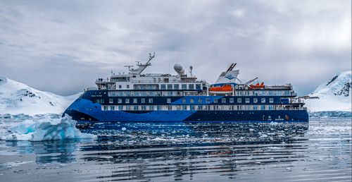
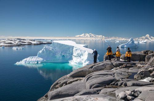
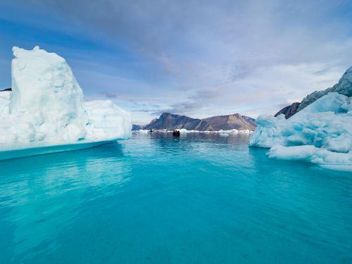
Pictures of Cuverville Island

Highlights Close to Cuverville Island

Port Charcot, Booth Island

Port Charcot is a small bay at the north end of Booth Island. Booth Island is a rocky and rugged Y-shaped island off the Kiev Peninsula in Graham Land. It was first mapped in 1904 when the French Antarctic expedition led by Jean-Baptise Charcot over-wintered here.

After building a few rudimentary shelters and the cairn that can still be seen at the top of the hill, the expedition used Port Charcot as its base for exploring the area, that is close to the Lemaire Channel and the division between the NW and the SW peninsula . There is the remains of a stone hut used for astronomical observations and a wooden pillar with a plaque here where you can still make out the names of the first expedition members who wrote them almost 120 years ago.

In the bay where the Français was anchored (but difficult to reach with the ice) the letter 'F' was carved onto the rocks and can still be seen.

The walk to the cairn is delightful, although you’ll be carefully led by guides as wandering off the path can be treacherous, with loose rocks and crevasses. Visitors can also walk to the east where there is a noisy Gentoo penguin colony. Chinstraps and Adelies can also be seen on the beaches here. If you are lucky, you might get all three together!

From the top the views are stunning, especially the view to the SW, towards Pléneau Island Island, overlooking 'the iceberg graveyard'. This iceberg graveyard can be explored on a spectacular Zodiac cruise, either from ships anchored off Port Charcot to the 'NW' of the Lemaire Channel, or from ships anchored off Pléneau Island and Booth Island that had sailed through through the Lemaire Channel. For full details of this Zodiac cruise refer to the details under Pléneau Island.

Animals in Cuverville Island

Our trips to Cuverville Island


2024 Polartours, a Ventura TRAVEL GmbH brand

All rights reserved

Polar Specialist

Your contact

Bruna

Book a video consultation

15min face to face consultation

Polar Specialist